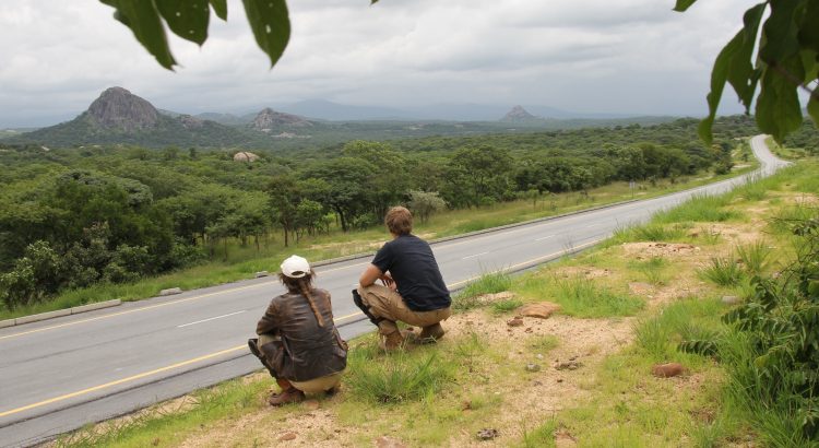
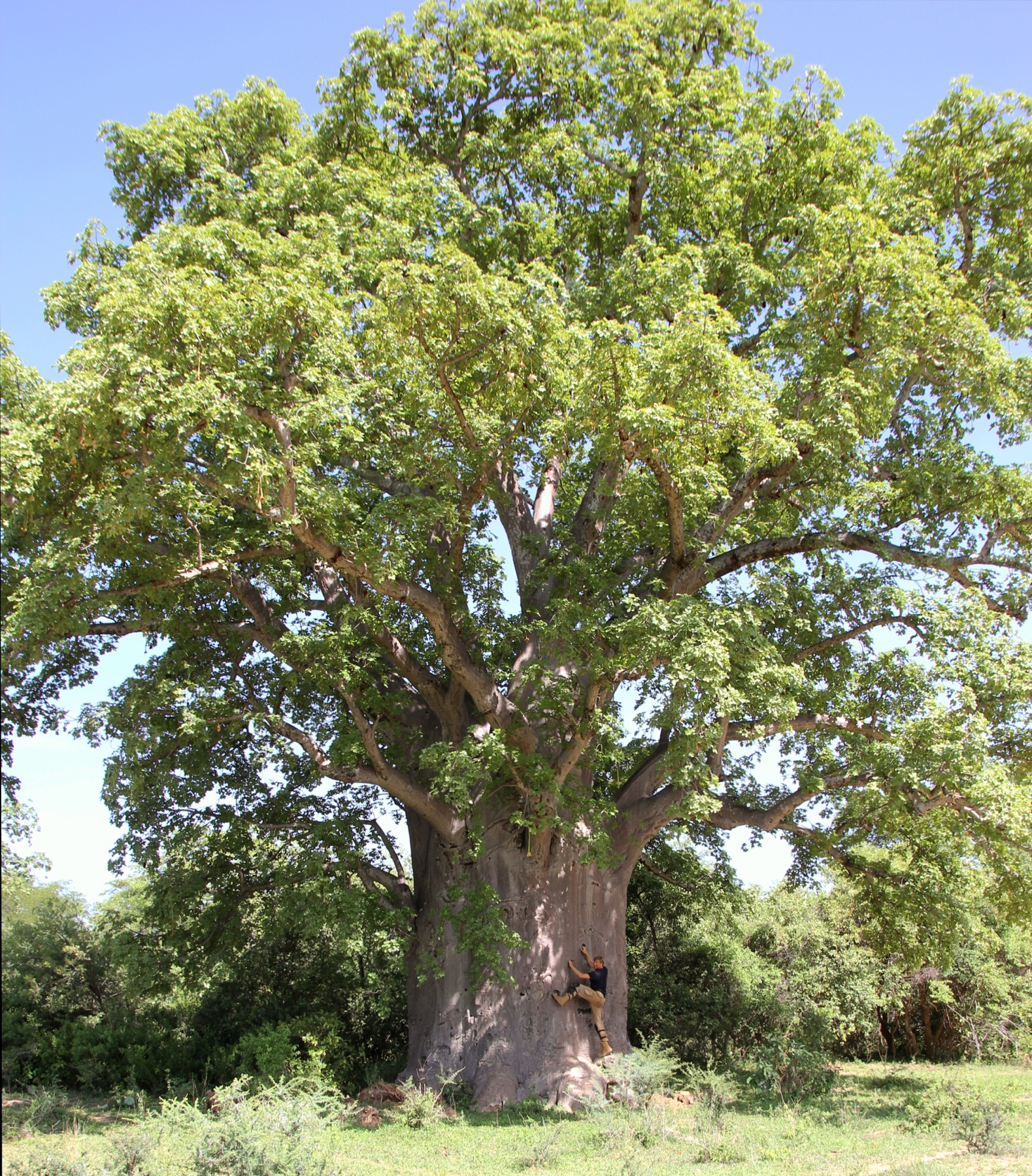
Once the crazy Lagos-like traffic of Luanda clears, the road going south is good tarmac and 50km out you can hardly see any other cars on the road, just endless straight lines through much less vegetation than the north. The scenery changed quickly, the steaming rainforests of Gabon gave way to patches of savannah in Congo and now the plains of angola remind of southern Spain.
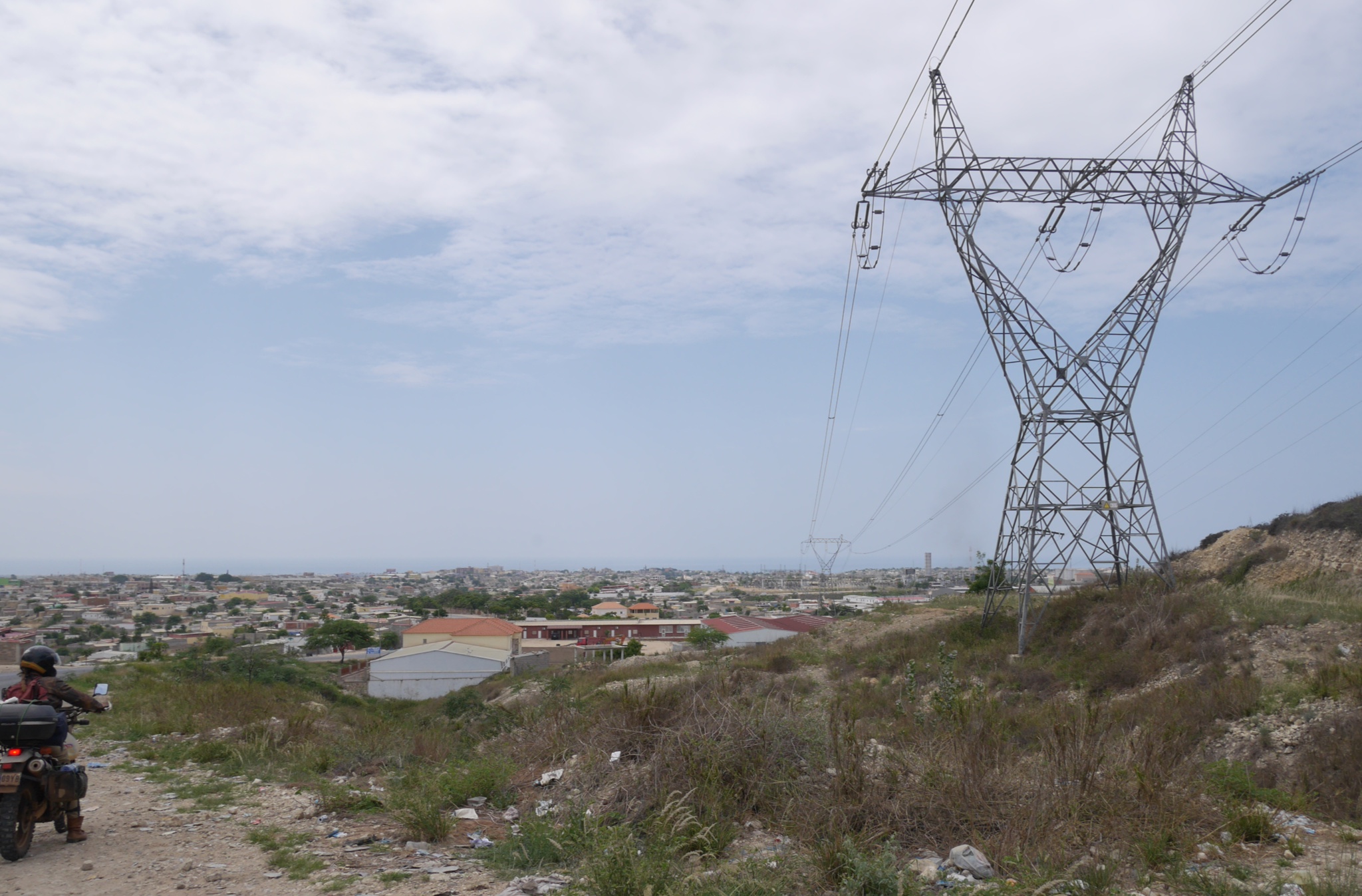
The human scenery has changed a lot too. In Congo you find a prominent bar-shed in every little village. If they have electricity, they will surely be blasting African beats through broken loudspeakers all day long. Cabinda was already quiter, but in mainland Angola it is sometimes tricky to even find a bar in a village. People seem to be more serious and work-oriented. It is also the first time we see a cow during the trip and there will be more cattle as we head south. The neverending dance of Congo is replaced with people going to work, herding cattle or working in their shops. There is still thousands of people killing time on the roadside, but much less visible than further north. You could mistake Angola for a black version of a southern ex-Soviet republic. Quite orderly and well functioning by the African standards. It was also the first country since Morocco, where you can see long distance power lines running between the cities.
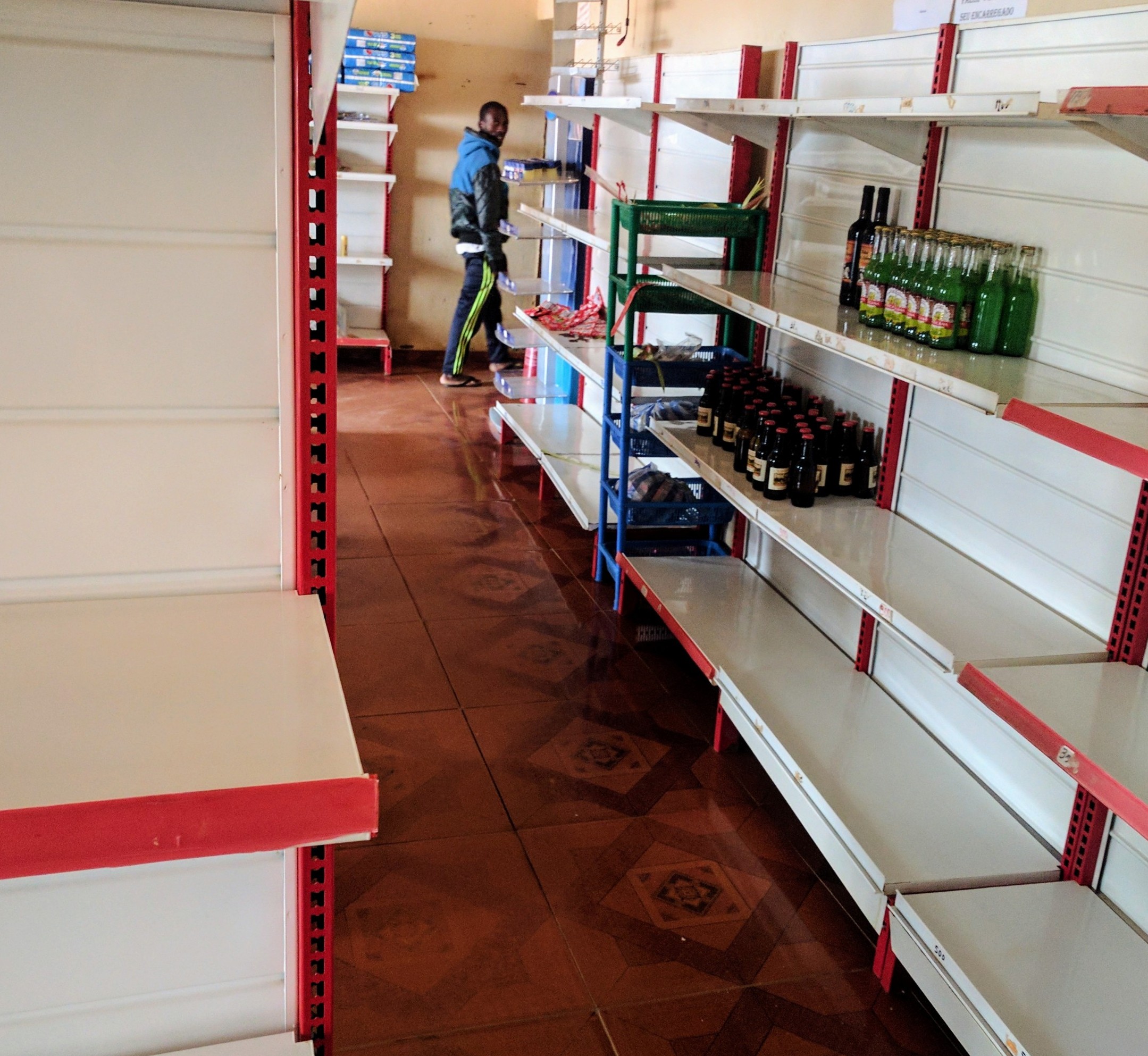
Perhaps the most obvious Soviet hint was the lack of merchandise in the shops. Rows of empty shelves as I remember the late 80s at home. Even the bustling markets signature to the rest of Africa were here stocked with 4 types of dried fish, some half ripe tomatoes and matches.
Having to pass DRC on the military plane was an adventure, but also heartbreaking. When planning this trip I had mostly thought of it as the “Congo stage” with the crossing the Congo river to be the highlight. Reading Tim Butcher’s legendary adventures through Congo from a few years back had much built up the expectation as now for the first time it is meant to be considerably less dangerous to venture into the war-ridden hinterlands. These experiences will be left to some other time, now we have straight lines of tarmac ahead of us across the vast space of Angola, which is twice the size of France.
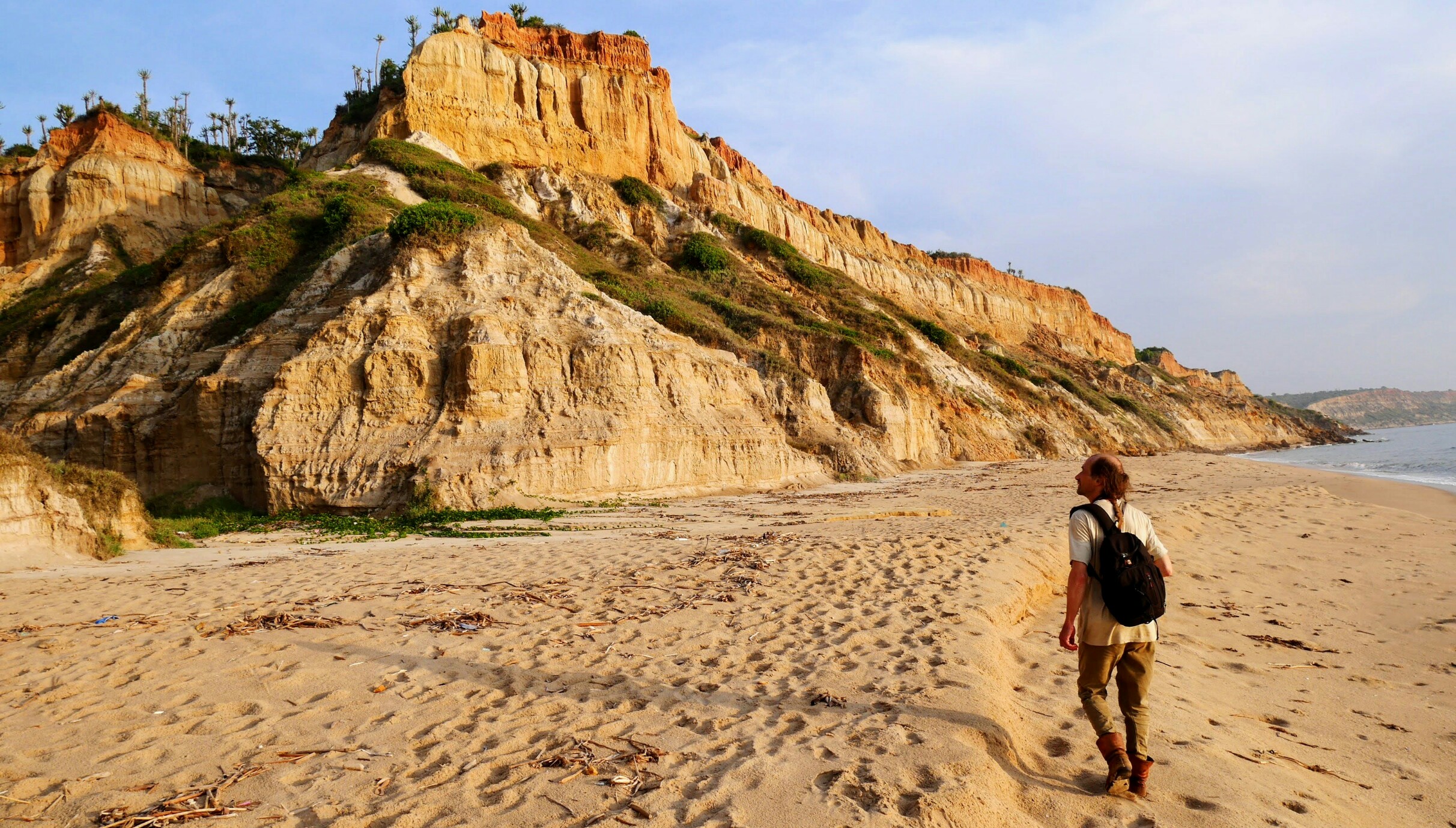
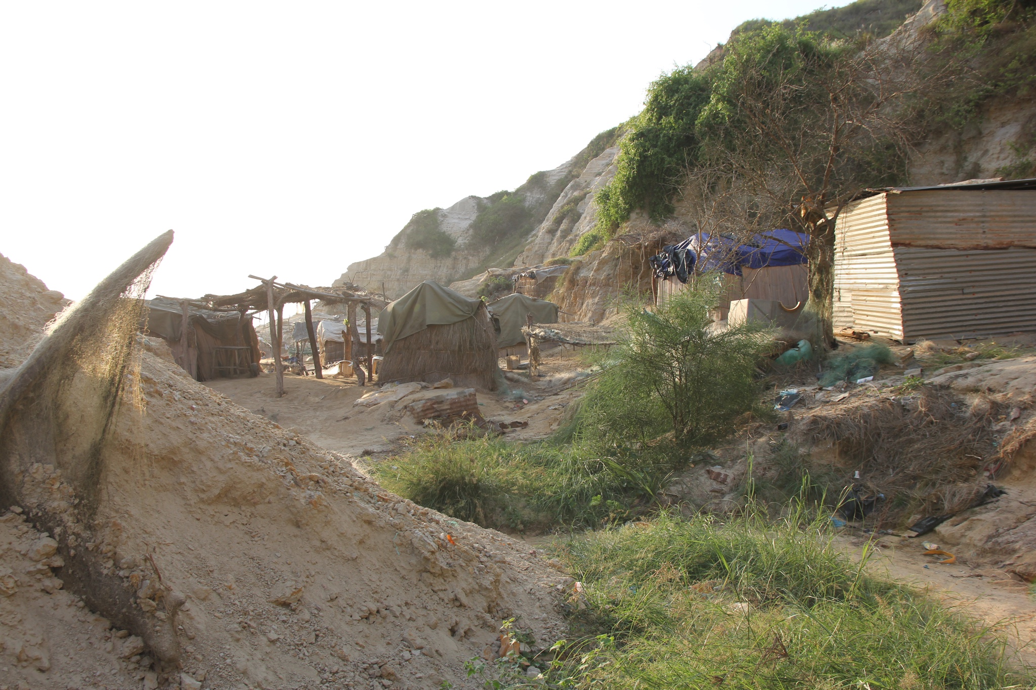
Looking for our first campsite we find a track leading towards the ocean and stopping on the cliff with a perfect view for the evening. There is a path into the valley and after a 20 minute trek we get down to the beach where we find a little fishermen village, perhaps 30-40 huts and a busy social life, mostly folks sitting in front of the huts and drinking Cuca – the local beer. There’s fish everywhere set out to dry. We’re called to the village chief immediately and instructed to take no photographs. We take some further out from the village. We end up taking part in a rescue mission as a late boat can’t get on to the shore since the tide has gone out. The hidden camera clip (2min in) records some of the portuguese profanity supplied as we’re helping to get the transfer boat into the water.
If there is one thing that an African hates most about the western culture, it is the National Geographic. They hate it with a passion. They tell you that whites are tracked by satellites, which know what we eat and how we move and our governments pay us to travel to Africa to take pictures of the poor people. Then there are some others, who walk over to you and demand their picture to be taken. For example, the Angolan border guard, in the middle of the negotiation, whether we should pay 500 USD to the state for overstaying the 5 day transit visa. Needless to say, we didn’t pay.

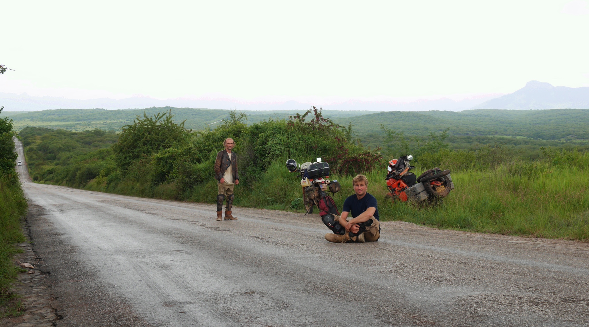
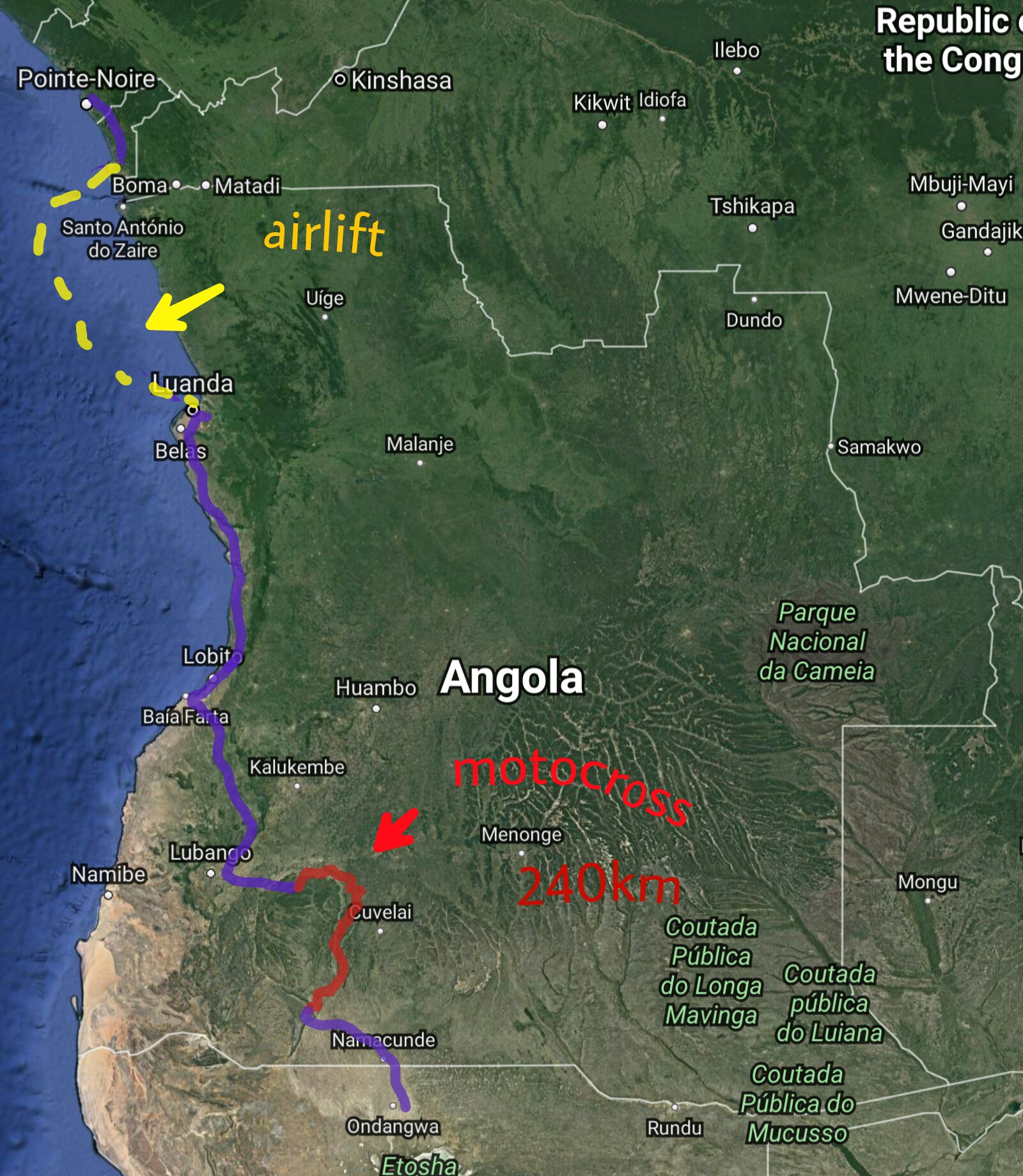
The life next to the tarmac roads looks modern and not too exciting, we decided to check out the real Angola that the power lines don’t reach. We found a 250km shortcut through two national parks inland that was marked partly “earth road” and partly “seasonal” on the map. The second half of seaonal means that that the road becomes impassable during the wet season, which in this region had already started. We were hoping that nothing should stop our oversized (and overloaded) motorcross bikes. The situation became a bit worrying when already in the first village the earth road stops and locals direct us down a moped-only single track disappearing between the bushes. We see a couple of 125cc Chinese scooters disappearing into the bush and follow them. 10km on the single-track and still no sign of car tracks. 20km, 30km … now there’s 200km still to go. The arms are getting tired from the endless slalom around the bushes and following the detours around the little lakes on the path. But the detours have developed their own little lakes and now there are detours of detours of detours. I’m mostly worried that if something unrecoverable happens to one of the bikes, we don’t have trucks coming through and we’ll need to dismantle the bike and courier it in pieces back to the tarmac using the Chinese scooters that we occasionally pass. Finally the path opens up and we see the first car tracks, another 50km and we meet the first Landcruiser. It ends up also being the last one along the 250km of motocross that takes us the best part of two days. The second half of the video has some clips from the ride.
Although there are no cars, there’s plenty of life happening. As one village ends, the next one starts. Each made up of 20 round straw roofed huts. During the day they herd the cattle in the bush covered grassland, For the night they bring the cattle into a compound protected by a high wall of thorny bush to protect from the hyena, cheetah and leopard, who are still plentiful in the area. We don’t have much hope to meet any wild animals when passing through the reserves – in one of the reserves they used the animals as target practice and although the other one was meant to be a conservation area for the giraffe, there wasn’t a single giraffe left there when the area was finally established. They say it is getting better now after the war.
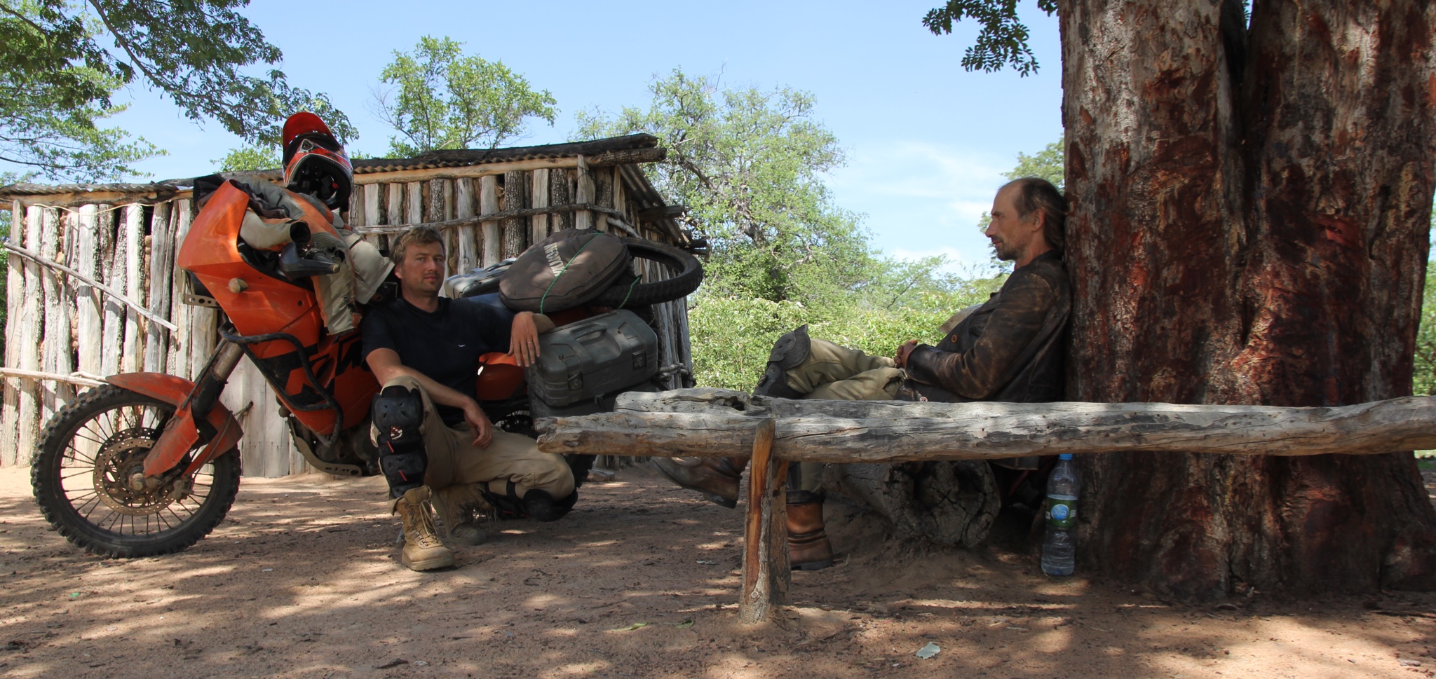
At one stop we asked the local dude, how far to the next village. He raises his hand straight at 60 degrees to the west. It takes a few minutes to clock, but makes complete sense – we’ll get there at around 2 o’clock. Later we see the same sign from the Angolan border guard. We arrive late for the namibian border, it is already closed for the day. He raises his hand to the east at 15 degrees above the horizon, which means 8am.
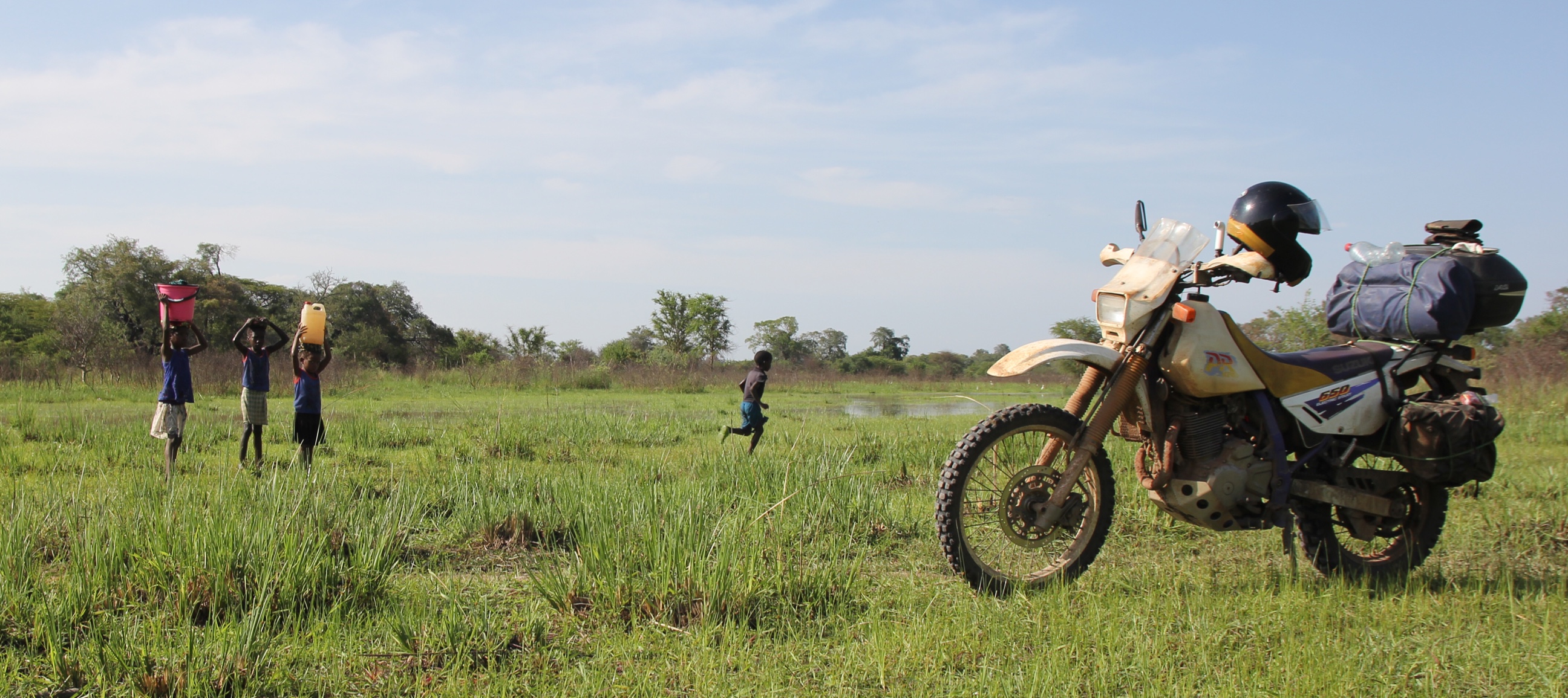
Almost guaranteed that the children in the picture had never seen a white dude before. Perhaps they had seen a picture of a white man, but unlikely even a video – the first electric generator was in a village 30km away and the electicity grid next to the nearest road, which was 120km to either side. They were doing their washing in the river, perhaps 5km from the village – and when they saw us emerge from the bush they were visibly torn between curiosity and panic. At first they froze, the tactic you’re meant to deploy when meeting an elephant – then 5 min later they just ran as fast as they could to the village.
This was one of the most exhilerating rides I’ve had in Africa, second only to a 80km stretch we rode on the beach waterline in Mauritania at 120km/h. But we were unlucky with the campsite this night. We set up camp near one village at sundown and as we start making tea – we hear djembe starting to bong in the distance 3-5km behind us. There was one hell of a party in the next village with singing and drumming into the night, but fatally not for us.
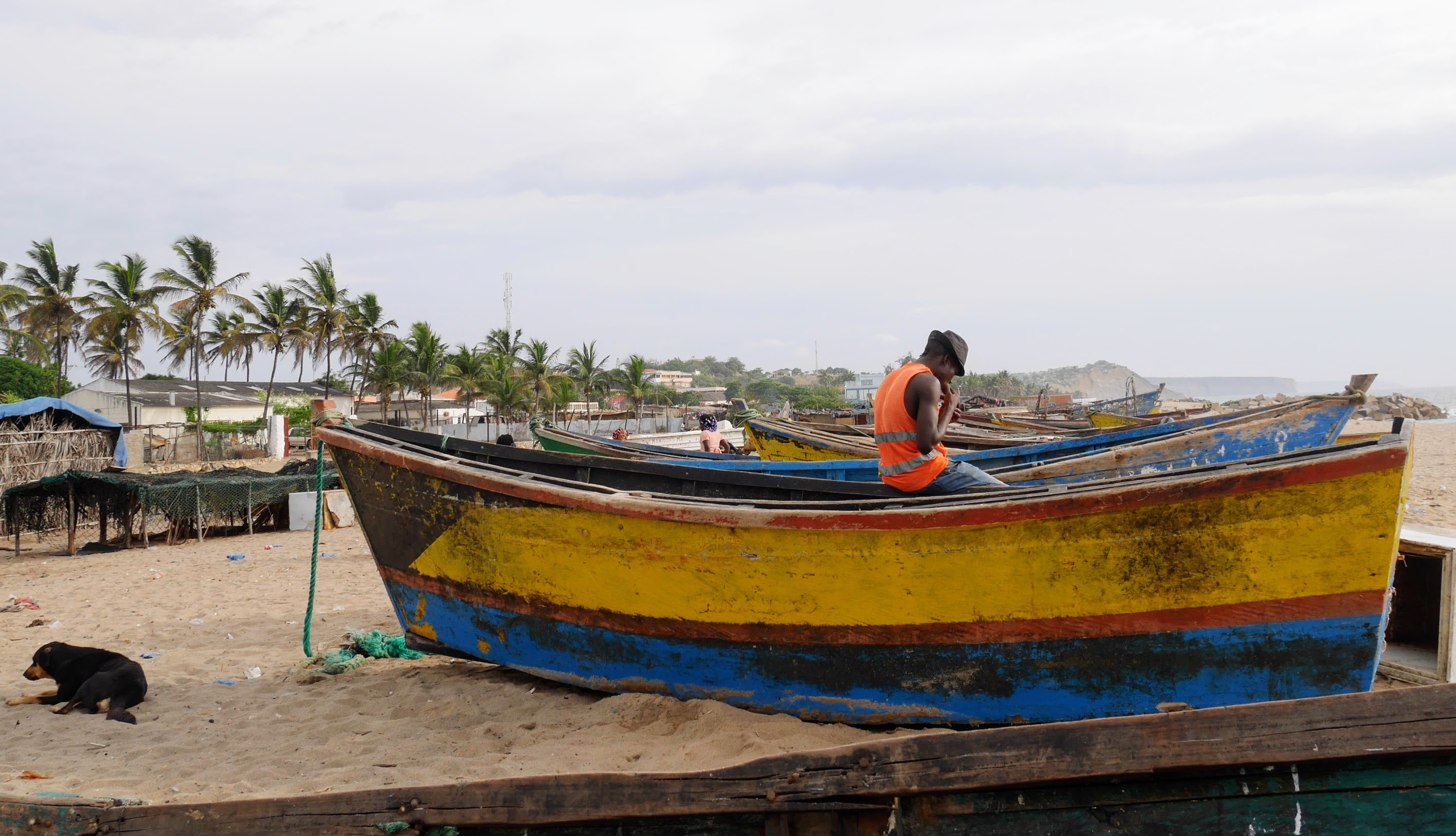
After the last post Gregor reminds to re-read Ryszard Kapucinsky’s fantastic reports in Another Day of Life from Angolan civil war and the life in the 60s of the post colonial Africa. The best track from Angola was Kaytranada – Lite Spots, which was blasting on repeat in a fishing village at new years eve.
Juka shared his photos of people who we met ony the road. There is a 4 minute montage of some of the clips we took on the way.
Congo-Angola
New photo · Album by Kristo Käärmann